About the LAADS DAAC
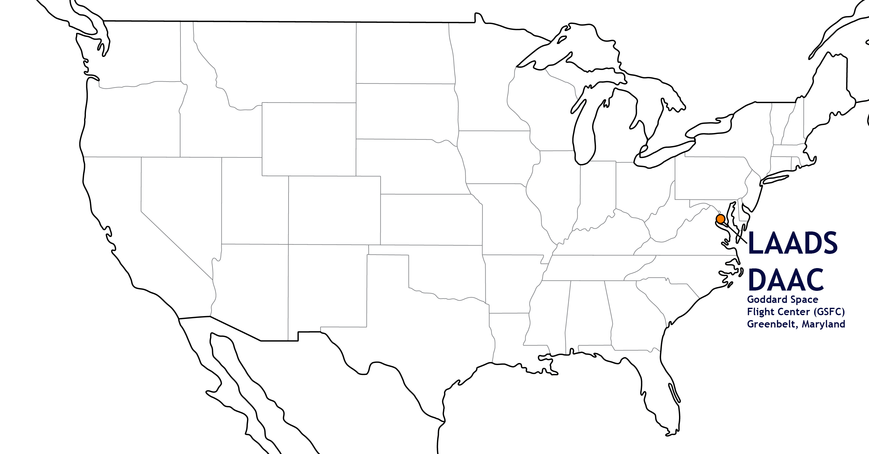
The Level-1 and Atmosphere Archive & Distribution System Distributed Active Archive Center (LAADS DAAC), located in Greenbelt, MD, primarily archives and distributes data on clouds, water vapor, and aerosols in Earth’s atmosphere as well as key instrument data for NASA, NOAA and European Space Agency missions. Secondarily, LAADS DAAC serves as a backup source for Moderate Resolution Imaging Spectroradiometer (MODIS) and Visible Infrared Imaging Radiometer Suite (VIIRS) land products.
Sources of data at LAADS DAAC are NASA Earth Observing System’s Terra and Aqua MODIS, Suomi NPP’s and Joint Polar Satellite System’s VIIRS, and NASA airborne data, as well as data from the European Space Agency’s Envisat Medium Resolution Imaging Spectrometer (MERIS), and Copernicus-Sentinel-3 Sea and Land Surface Temperature Radiometer (SLSTR) and Ocean and Land Colour Instrument (OLCI).
As one of twelve DAACS within the NASA Earth Observing System Data and Information System (EOSDIS), managed by the Earth Science Data and Information System (ESDIS) Project, LAADS DAAC provides a gateway to data through multiple tools. For more information on DAACs and where the LAADS DAAC falls within the NASA Earthdata ecosystem, please visit: https://earthdata.nasa.gov/eosdis.
Our Mission
The primary mission of the LAADS DAAC is to archive and distribute MODIS science data products and NASA versions of VIIRS science data products to the global Earth science research and applications community. Our focus is on level 1 calibrated and geolocated moderate resolution instrument data and level 2 and 3 atmosphere products. The two MODIS instruments are onboard NASA’s Terra and Aqua satellites. The two current VIIRS instruments are onboard the joint NASA/NOAA Suomi NPP satellite and the NOAA-series (formerly named JPSS) satellites.
The LAADS DAAC also distributes other moderate resolution science datasets including, the European Space Agency’s (ESA) Envisat Medium Resolution Imaging Spectrometer (MERIS ) and Copernicus-Sentinel-3 Sea and Land Surface Temperature Radiometer (SLSTR) and Ocean and Land Colour Instrument (and OLCI) collections. In addition, we archive and distribute the MODIS Airborne Simulator (MAS) and Autonomous Modular Sensor (AMS) airborne collections, and other NASA data sets. We also serve as a secondary DAAC for distributing MODIS and VIIRS land products.
The LAADS DAAC keeps its user community up to date on all data product information, including known issues that affect product quality, and provides tools and services to improve data use and understanding.
LAADS DAAC History
The LAADS DAAC was established in 2007 to distribute MODIS Level-1 and atmospheric science products produced by the MODIS Adaptive Processing System (MODAPS) , one of the Science Investigator-led Processing Systems (SIPS) . The LAADS DAAC is collocated with MODAPS at GSFC, and the two entities share common software, hardware, network infrastructure, and support staff.
More About MODAPS
The MODAPS SIPS processes data from both MODIS instruments on NASA's Terra and Aqua platforms. MODAPS provides an architectural framework that has spawned other production systems that are part of the LAADS DAAC. Land SIPS is one such production facility that, in late 2016, began producing and distributing NASA standard versions of the Suomi NPP VIIRS Level-1 and Land science data products. The LAADS DAAC archives and distributes these products as well as VIIRS atmosphere products (produced by the Atmosphere SIPS located at the Space Science and Engineering Center , University of Wisconsin, Madison). Another example of a MODAPS-inspired framework involves the production of MODIS and VIIRS Near-Real-Time products as part of NASA’s Land, Atmosphere Near-real-time Capability for EOS (LANCE) program.

The diagram above provides a synoptic view of MODAPS as a central data provider, whose evolving SIPS components support and sustain both Level-1 and higher-level atmosphere and land data processing requirements for LAADS and its various NASA stakeholders. The EOS Data Operations System (EDOS) processes the raw satellite instrument data into Level-0 raw instrument packets that are used to produce Level-1 calibrated and geolocated radiance data. MODAPS generates MODIS-derived Level-1, atmosphere, land and cryosphere products. The Land SIPS produces VIIRS-derived Level-1, land and cryosphere products. Three entities closely collaborate with all MODAPS’ elements that ensure the quality and fidelity of all the operationally produced standard and NRT products. They include the Land Data Operational Products Evaluation (LDOPE) team, the Science Data Support Team (SDST), and the MODIS and VIIRS Characterization Support Teams (MCST/VCST). The bottom of the diagram identifies the six stakeholders that include the following:
- LAADS DAAC
- NSIDC (MODIS & VIIRS cryosphere products)
- Land Processes DAAC (MODIS & VIIRS land products)
- Land, Atmosphere NRT Capability for EOS (MODIS & VIIRS NRT products)
- Global Imagery Browse Services (Full-resolution visual representation of science data)
- Fire Information for Resource Management System (NRT active fire information)
Who are our data users?
We provide data products, services, and tools to support a large global user community that includes applied scientists, researchers, modelers, algorithm developers, other data providers, educators, and novices.
Meet our User Working Group to learn more about how we strive to improve LAADS DAAC through its products and tools portfolios, effective communications, and user community support.
Last updated: September 13, 2021